PLANET CAPTURED IN PIXELS. A PIPELINE TRANSLATING THE RELEVANT.
Satellites and drones are generating data faster than any team can process it.
Mandara Intelligence delivers precision-labeled geospatial data - the fuel every defense and intelligence AI model runs on.
A structural shift is underway. The economics of getting hardware into orbit and into the air have collapsed. What was once a government monopoly is now an open floodgate. The result: more data than the world knows what to do with.
01
Launch costs have collapsed
Reusable rockets and commercial competition have slashed the price of reaching orbit by over 95% in three decades.
$1,500/kg today vs $65,000/kg in 1990
02
Satellite & drone fleets are exploding
Over 7,500 active satellites orbit Earth today. Commercial drone manufacturing is growing at 15%+ CAGR. Both numbers are accelerating.
7,500+ active satellites in LEO
03
Data is outpacing human capacity
EO, SAR, hyperspectral, LiDAR platforms stream terabytes per hour. No team of analysts can keep pace with the volume manually.
10 PB+ imagery generated daily
04
AI is the only answer but it's stuck
Automation requires trained AI models. Trained models require labeled data. And labeled geospatial data at scale with domain precision barely exists.
Labeled data is the bottleneck
LABELED DATA IS THE BOTTLENECK.
Every autonomous system processing satellite imagery - ship detection, damage assessment, change monitoring needs high-quality labeled training data. Most organizations can't produce it at the speed or precision the mission demands.
96%of geospatial data goes unanalyzed
3–6 motypical time to build a labeled dataset
Negligibleoff-the-shelf labeled geospatial datasets for defense
5-10%of global annotators specialize in geospatial annotation
Our Solution
PRECISION LABELS. AT SCALE.
Mandara Intelligence is a domain-specific geospatial data labeling company built by the engineers who built scalable geospatial AI pipelines. We don't outsource. We don't guess. We label with the precision that mission-critical AI demands.
From SAR ship detection to LiDAR urban mapping, we deliver annotated datasets that let your models train faster, generalize better, and perform when it counts across every sensor modality your platform ingests.
We operate at the intersection of deep geospatial expertise, AI engineering, and defense-grade rigor. Every annotation follows domain-specific labeling guidelines refined through years of operational AI deployment.
Air-Gapped Environment Support
Fully offline annotation pipelines for classified or restricted data. No internet connectivity required. Your data never leaves your infrastructure.
End-to-End Data Security
Encrypted data handling, strict access controls, and compliance with defense-grade data governance standards throughout every annotation workflow.
Trusted by defense, intelligence, and commercial Earth observation teams
Capabilities
EVERY MODALITY.
Our team handles the full spectrum of geospatial sensor types from synthetic aperture radar to hyperspectral imaging. Each modality requires distinct labeling expertise; we have it all in-house.
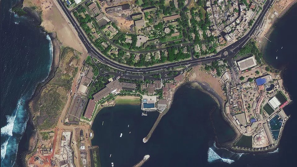
EO / RGB + MSI
Electro-Optical
Object detection: vehicles, structures
Land use / land cover segmentation
Agriculture field boundary delineation
Road & building extraction
Disaster damage assessment
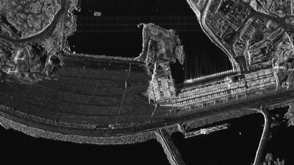
SAR
Synthetic Aperture Radar
Ship & vessel detection
Oil spill segmentation
Flood extent mapping
Change detection: infrastructure, deforestation
Military asset classification
Hyperspectral
Hyperspectral Imaging
Crop type classification
Vegetation health & stress detection
Mineral & soil composition mapping
Water quality & pollution detection
LiDAR
LiDAR Point Cloud
Building footprint & height extraction
Urban tree canopy segmentation
Power line & utility detection
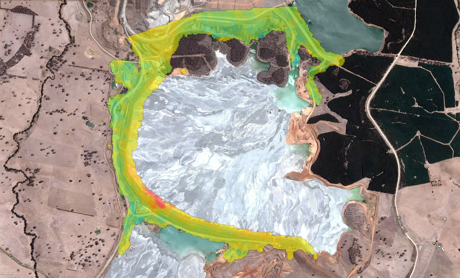
Mine & excavation volume estimation
Offerings
HOW WE WORK.
Most requested
01
Project-Based Labeling
High-touch, domain-specific annotation for defense, agriculture, and infrastructure projects. Per-annotation pricing. Dedicated labeling team with domain expertise baked in.
DefenseAgricultureInfrastructureCustom guidelines
02
Pre-labeled Datasets
Off-the-shelf labeled geospatial datasets for common use cases. Building detection, land use classification, vehicle detection. Ready to plug into your training pipeline on day one.
Building detectionLand useVehicle detection
03
Model Training Data
Custom datasets built ground-up for your specific AI model. We scope, collect, annotate, and validate — delivering training-ready data that matches your model architecture and performance targets.
Custom scopeValidated splitsModel-ready
MANDARA
Contact
LET'S BUILD TOGETHER.
Working on a geospatial AI project that needs precision-labeled data? We'd like to hear from you.